From Chaos to Clarity: Making Sense of Citizen Science in Oil Palm Landscapes
When we think of palm oil, images of displaced wildlife and destroyed habitats often come to mind. But what if agriculture and wildlife didn’t have to be at odds? With the right approach, they can co-exist and even thrive.
Research shows that in well-managed agricultural landscapes, wildlife populations can be sustained. That’s why understanding how animals move, where they live, and how their populations are changing is critical to developing adaptive management strategies that mitigate the negative impacts of palm oil plantations on biodiversity.
This latest study explores a citizen science initiative under the PENDAKI (Care for Biodiversity) programme, which was launched in 2019 by Indonesian palm oil company Austindo Nusantara Jaya (ANJ). The programme empowers plantation workers to record sightings of wild animals and plants while completing routine tasks, creating a rich and growing database of local biodiversity.
Although citizen science is an increasingly popular data collection method, one common critique is that data collected informally, through casual, unstructured observations, can be hard to analyse. Without standardised survey methods, it is often unclear whether a species wasn’t seen because it was absent or simply missed.
To tackle this, researchers applied a statistical tool called occupancy modelling. These models estimate the proportion of areas occupied by a species and account for the possibility that a species was present but undetected. This makes them especially useful when detailed survey data is lacking.
Surprisingly, the study found that even with the “messiness” of unstructured data, occupancy estimates remained reliable. The models revealed important patterns. Species like Orangutans (Pongo pygmaeus) and Gibbons (Hylobates albibarbis) had much higher occupancy in forested areas and near large forest patches. In contrast, the Water Monitor (Varanus salvator) was found to occupy nearly the entire study area, with a striking 97 percent mean occupancy across plantations and forests.
Still, there were challenges. For many species, the precision of estimates was low, largely because most daily species lists included only one or two species. These “short species lists” make it harder to assess how often a species is missed. The study also highlighted how observer differences, such as varying levels of skill or experience, affected species detection.
Improving precision means gathering more complete data. To that end, a subset of observers is now using fixed species lists and a smartphone app that logs sightings along with location data, boosting both data quality and insights into survey effort.
While the current models don’t yet account for every spatial or temporal variable, such as changes in observer skill or fine-scale habitat features, they represent a promising step toward more effective biodiversity monitoring in tropical plantations.
Ultimately, the goal is to integrate citizen science data and occupancy modelling into day-to-day biodiversity management. With more data and better tools, scientists can sharpen occupancy estimates for current study species, expand the species list, and zoom in on finer spatial scales, helping conservation and agriculture work hand in hand.
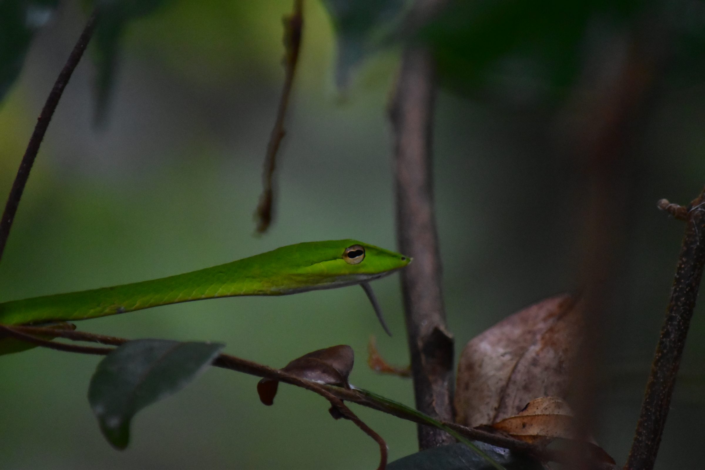
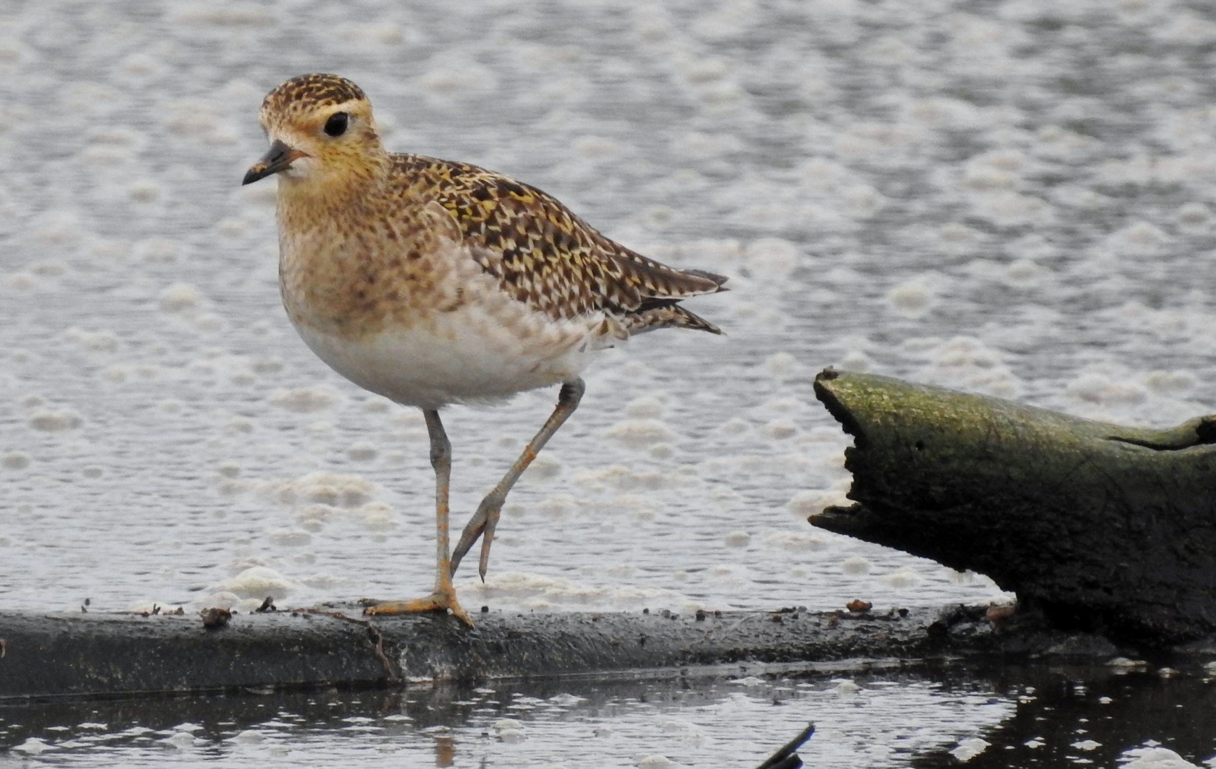
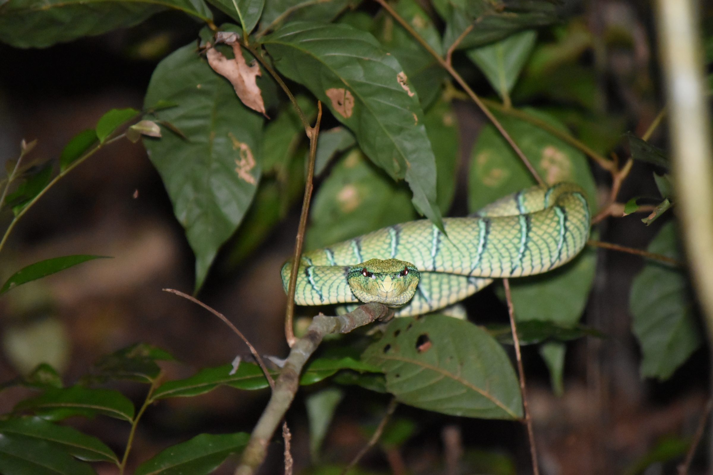
(Wildlife images taken by PENDAKI observers)